

Sustainable Solutions from the Sky
Gain New Perspectives With Professional Drone Services for Accurate Data and Imagery
Sustainable Solutions from the Sky
Gain New Perspectives With Professional Drone Services for Accurate Data and Imagery
Expert Precision
High-resolution data for confident project decisions.

Efficient Safety
Quick, thorough inspections with zero risk exposure.
Innovative Impact
Captivating aerial visuals that engage and impress.
Get high-resolution imagery and mapping to monitor sites and inspect hard-to-reach areas safely.
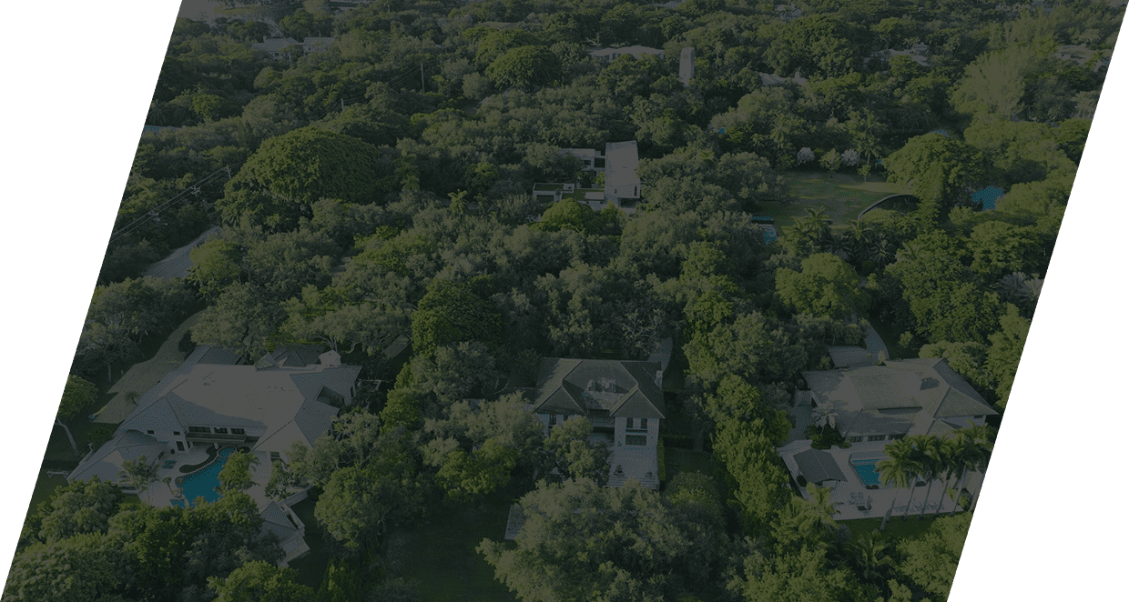
Attract more buyers with stunning aerial photos and videos that highlight properties and drive faster sales.
Conduct safer, faster assessments of roofs, solar panels, and infrastructure to detect issues early.
Gain a clear aerial overview of fields to monitor crop growth and spot potential issues.
Create unforgettable custom shows with vibrant patterns and animations for any special event.
Receive rapid aerial documentation to support insurance claims and recovery efforts.
See Our Work in Action
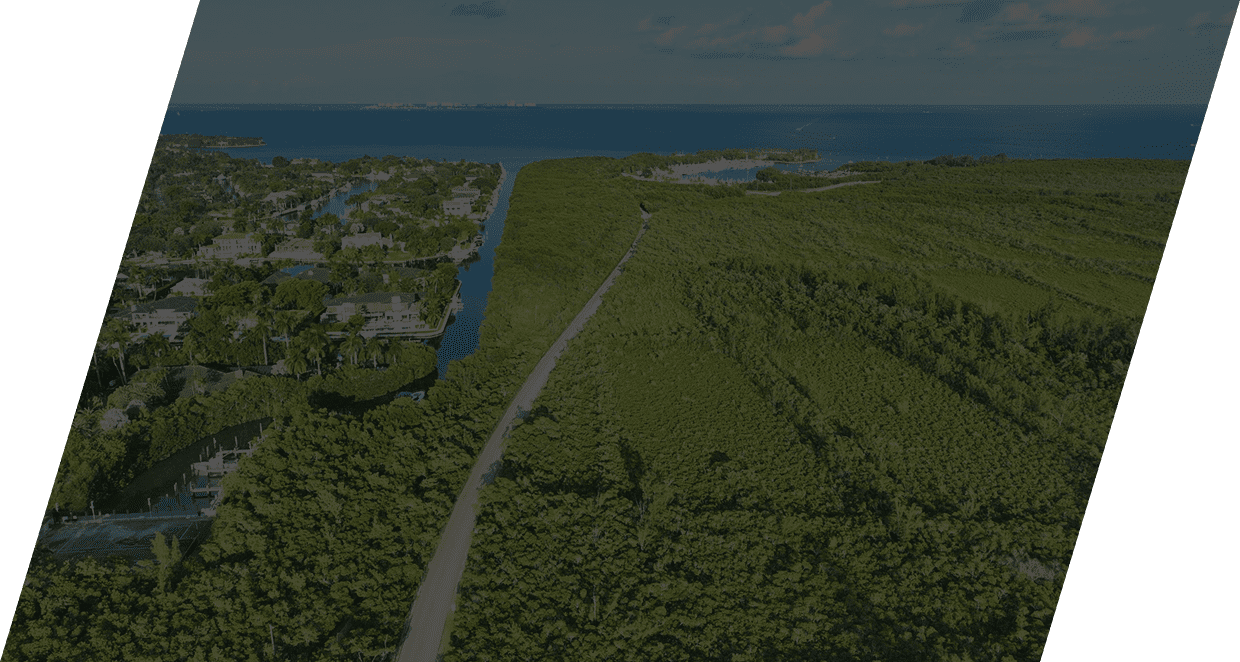
Ready to see what we can do for your business? Our gallery showcases a wide range of projects, from stunning aerial photography of real estate to detailed mapping of construction sites. Explore our portfolio to see the quality and precision we bring to every flight.
Client Success Stories
